| Sensor | Current | Today (min) | Today (max) |
|---|---|---|---|
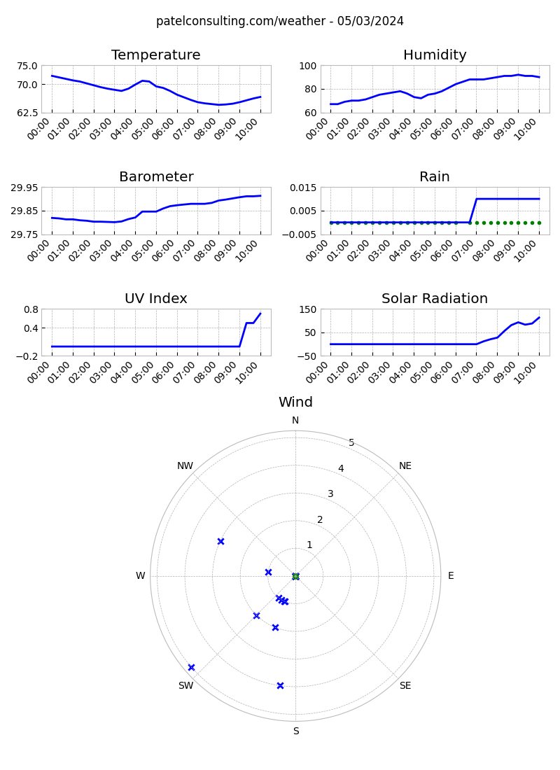
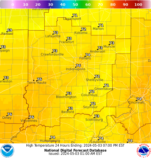
| Outdoor Temperature | 63.6 ° F | 31.9 ° F 06:09 | 64.1 ° F 14:22 |
| Outdoor Humidity | 31 % | 26 % 14:23 | 93 % 08:47 |
| Outdoor Dew Point | 32 ° F | ||
| Wind Chill Temperature | 64 ° F | ||
| Heat Index Temperature | 60 ° F | ||
| Barometer | 30.179 " Falling Rapidly | 30.179 " 14:56 | 30.348 " 09:00 |
| Wind Direction | 196 ° SSW | ||
| Wind Speed | 1 mph | 10 mph 14:10 | |
| Rain | rate: 0.0 in/h day: 0.0 in month: 0.0 in year: 27.45 in | ||
| Solar Radiation | 127 W/m2 | 461 W/m2 14:17 | |
| UV Index | 0.7 uvi | 1.7 uvi 14:17 | |
| Outdoor PM2.5 | 2.55 µg/m3 (AQI 11 - good) | ||
| Outdoor PM10 | 4.73 µg/m3 (AQI 5 - good) | ||
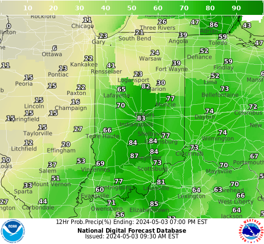
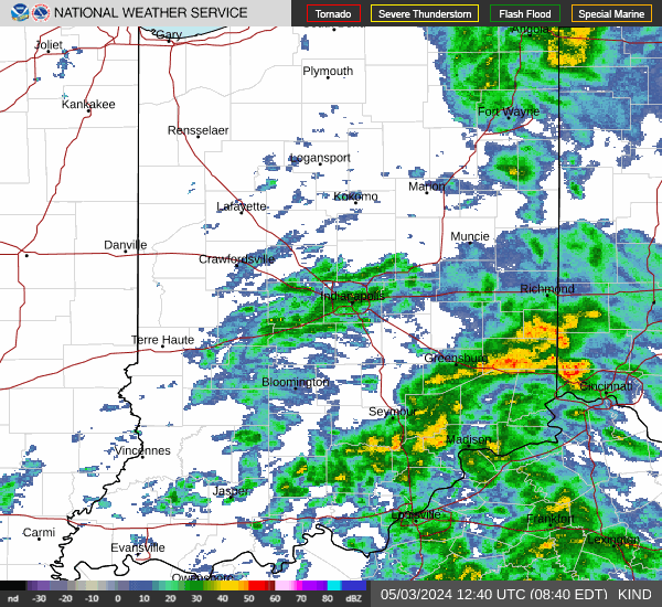
| Forecast | Increasing clouds and warmer. Precipitation possible within 24 to 48 hours. | ||
| Sunrise | 07:18 | ||
| Sunset | 17:38 | ||
| Moon Phase | Waxing Gibbous 🌔 | ||
| Moon illumination | 98% | ||
| Moonset | 11:08 UTC | ||
| Moonrise | 21:51 UTC | ||
| Warnings | no active warnings available |